MBSS Site Summary for: SAVA-204-S-2011
Located on CRABTREE CREEK in the Savage River watershed,
8-digit code: 02141006.
This stream was visited in the spring on 4/4/2011 and again in the summer on 7/20/2011.
Index of Biotic Integrity (IBI) Results:
An Index of Biotic Integrity (IBI) is a scientific tool used to identify and classify stream health. An IBI associates anthropogenic influences on a stream or with biological condition in the stream, and is formulated using data developed from biosurveys.
Details on the development and application of MBSS IBIs are in this document.
|
|
Fish IBI
|
Good - 4.0 / 5.0
|
|
Benthic IBI
|
Good - 4.3 / 5.0
|
Land Use
Land use can provide important information for determining stream health.
(Hint: Screen readers will announce definitions; mouse users can hover over dotted text.)
|
|
Catchment area
|
10,846 acres
|
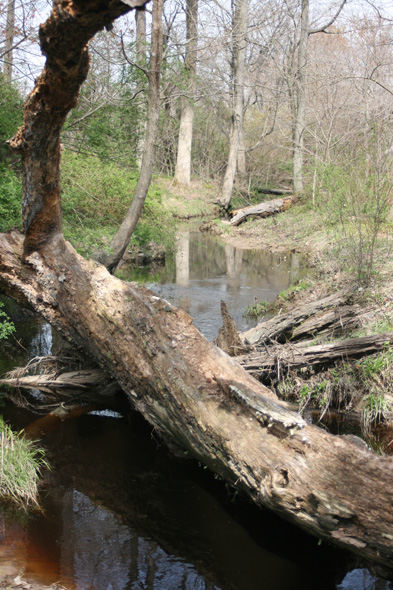
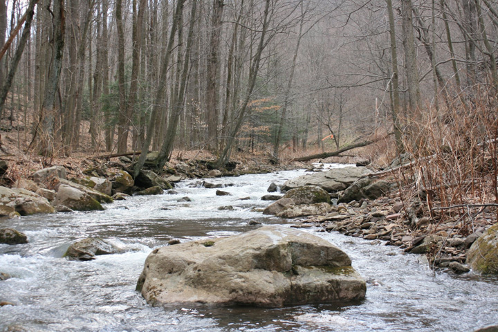
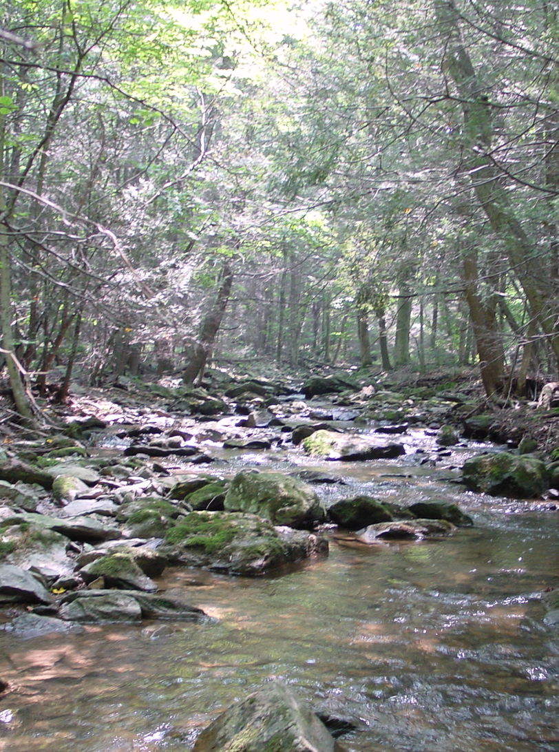 An example of a forested stream.
|
|
Urban Land Use
|
6 %
|
|
Agricultural Land Use
|
9.6 %
|
|
Forested Land Use
|
84.1 %
|
Stream Water Quality:
|
| pH (lab) |
7.14 |
Alkalinity
(acid neutralizing capacity)
|
252.4 µeq/L |
| Dissolved organic carbon (DOC) |
0.9778 mg/L |
Biological Stream Condition:
Surveys of the organisms living within a stream can give indications of stream health. Species richness, or the number of different species present, as well as indicator species (species whose presence, absence or abundance can serve as a measure of environmental conditions) are informative for stream health.
|
 |
| Cambarus bartonii bartonii |
| Japanese Knotweed |
| Multiflora Rose |
|
|
|
Sensitive taxa: Green, Tolerant: Red, Intermediate: Gold.
|
| Genus/Family |
Common Name |
Count |
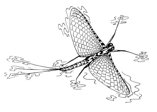
| Epeorus |
Mayfly
|
17 |
| Taenionema |
|
12 |
| Parametriocnemus |
Non-Biting Midges
|
9 |
| Tvetenia |
Non-Biting Midges
|
8 |
| Ephemerella |
Sulphur Mayfly
|
6 |
| Diamesa |
Bloodworm
|
6 |
| Paraleptophlebia |
Blue Quill Mayfly
|
6 |
| Hydropsyche |
Net-Spinning Caddisfly
|
5 |
| LEPTOPHLEBIIDAE |
Pronggilled Mayfly
|
5 |
| EPHEMERELLIDAE |
Spiny Crawler Mayfly
|
4 |
| Polypedilum |
Non-Biting Midges
|
4 |
| Cheumatopsyche |
Net-Spinning Caddisfly
|
4 |
| Microtendipes |
Non-Biting Midges
|
3 |
| Orthocladius |
Non-Biting Midges
|
2 |
| Paraphaenocladius |
Non-Biting Midges
|
2 |
| Maccaffertium |
March Brown And Cahill Mayfly
|
2 |
| Hexatoma |
Crane Fly
|
2 |
| CHLOROPERLIDAE |
Green Stonefly
|
2 |
| Haploperla |
Green Stonefly
|
1 |
| Prosimulium |
Black Fly
|
1 |
| Baetis |
Blue-Winged Olive Mayfly
|
1 |
| HYDROPSYCHIDAE |
Common Netspinner Caddisfly
|
1 |
| Diphetor |
Mayfly
|
1 |
| Dolophilodes |
Medium Evening Sedge Caddisfly
|
1 |
| Diplectrona |
Net-Spinning Caddisfly
|
1 |
| Eukiefferiella |
Non-Biting Midges
|
1 |
| Sympotthastia |
Non-Biting Midges
|
1 |
| Tanytarsus |
Non-Biting Midges
|
1 |
| Thienemanniella |
Non-Biting Midges
|
1 |
| Thienemannimyia Group |
Non-Biting Midges
|
1 |
| Amphinemura |
Spring Stonefly
|
1 |
| Sweltsa |
Stonefly
|
1 |
| LEUCTRIDAE |
Rolledwinged Stonefly
|
1 |
| Psephenus |
Water Penny
|
1 |
| LUMBRICULIDAE |
Worm
|
1 |
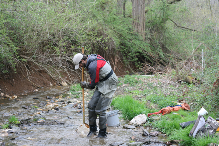
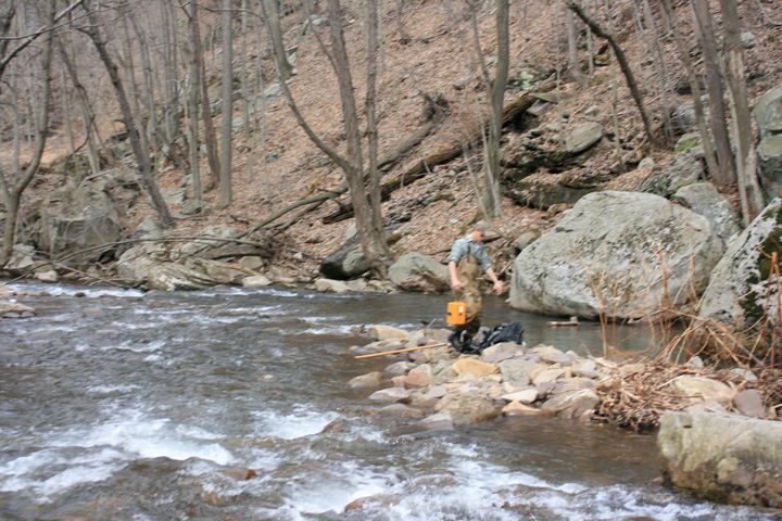
Sampling with a kick net.
|
|
Information disclaimer: The information and data on this page is for guidance and general planning purposes only. It should not be used to make decisions on specific matters.

 (Opens in a new window)
 (Opens in a new window)