SONDE CALIBRATION and POST-CALIBRATION
The Yellow Springs Instrument (YSI) EXO2 data sondes were maintained and calibrated before and after each deployment in accordance with YSI recommendations. <
https://www.ysi.com/customer-support>
KOR(TM) software (a YSI product) was used to calibrate the instruments.
FIELD MEASUREMENTS
The vertical profiling system consisted of the YSI 6951 pontoon platform fitted with the YSI 6960 Controller assembly and the YSI 6955 Winch assembly. A YSI EXO2 data sonde was suspended from the profiler system to monitor water quality. The monitoring sonde at the profiler site recorded seven water quality parameters at the following depths: 3.0m, 2.0m, and 1.0m. Profiles were conducted every hour, with new depth and parameter readings recorded approximately every minute. Along with depth, the seven water quality parameters measured were: water temperature, specific conductance (used to calculate salinity), dissolved oxygen concentration, oxygen percent saturation, turbidity (FNU), fluorescence (used to estimate chlorophyll), and pH. For modifications to the vertical profiler setup and operation, please refer to the Logical Consistency Report section of this metadata record.
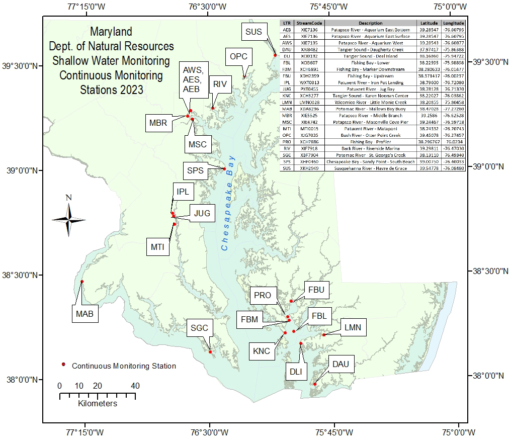
The YSI EXO2 sonde was configured with the following probes: 599870-01(conductivity/temperature) or 599827 (wiped conductivity/temperature); 599702(unguarded pH); 599101-01(turbidity); 599100-01(optical dissolved oxygen); 599103-01(total algal chlorophyll and phycoerythrin). The sonde logged data onto a Campbell Scientific CR1000 datalogger, and the data were stored on the CR1000 until retrieval. The station was equipped with a cellular telemetry unit, which allowed data to be accessed remotely and transmitted to a server computer at DNR. Data were retrieved every hour and made available publicly on DNR's web site <
http://www.eyesonthebay.net>.
SONDE DATA CHECKS
The monitoring sonde was retrieved, calibrated, and replaced regularly throughout the monitoring season. For logistical reasons, sonde replacement for the vertical profiler usually coincided with service visits to the upstream and downstream continuous monitoring sites in Fishing Bay. At each deployment, sondes were replaced with clean, recalibrated units. Dates of sonde replacement in 2023 were: April 13 (initial deployment), May 5, May 22, June 15, July 6, July 26, August 14, August 29, September 7, September 21, October 5, and October 25. During the routine site visit on November 15, the sonde was not exchanged because depth readings on the replacement sonde were not accurate. The entire vertical profiler platform was removed from the water on December 20, 2023 to prevent damage from icing and to perform equipment maintenance prior to the next monitoring season.
In the field, before an instrument was replaced, field biologists allowed both the new (freshly calibrated) sonde and the old (deployed) sonde to log simultaneous readings side by side at the same depth. In addition, data were recorded from a discrete instrument - usually a HydroLab or EXO water quality sonde. This three-way comparison assured that the "new" and "old" sondes were both reading each parameter within a certain tolerance. The HydroLab or EXO reading was used as a "double-check", and since it was a discrete reading, it allowed biologists to watch the display and note whether the parameters were fluctuating or stable.
Data were evaluated using both three-way in-situ comparison results and data from sonde calibrations. The comparison tolerances were as follows for both pre- and post-calibration and in-situ comparisons: Temperature (degrees C) +/- 0.2; Specific Conductance (uS/cm) +/- 5%; Dissolved Oxygen (mg/l) +/- 0.5 mg/l; pH +/- 0.2; Turbidity (FNU) +/- 5% or 5.0 FNU (whichever is greater); Chlorophyll (ug/l)+/- 5% or 5.0 ug/l (whichever is greater). Excessive drift between pre- and post- calibration values of sonde probes, variance from in-situ measurements or probe failures caused data to be flagged. When post-calibration drift exceeded the limits stated above in both the post-calibration and the in-situ comparables, the questionable data were masked within the data set with an error code.