Jabez Branch III Restoration
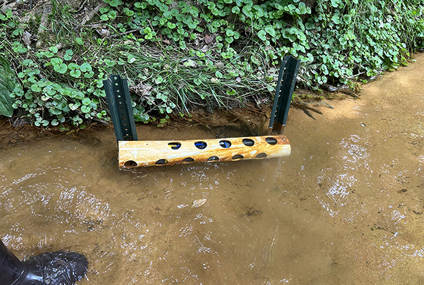
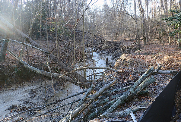
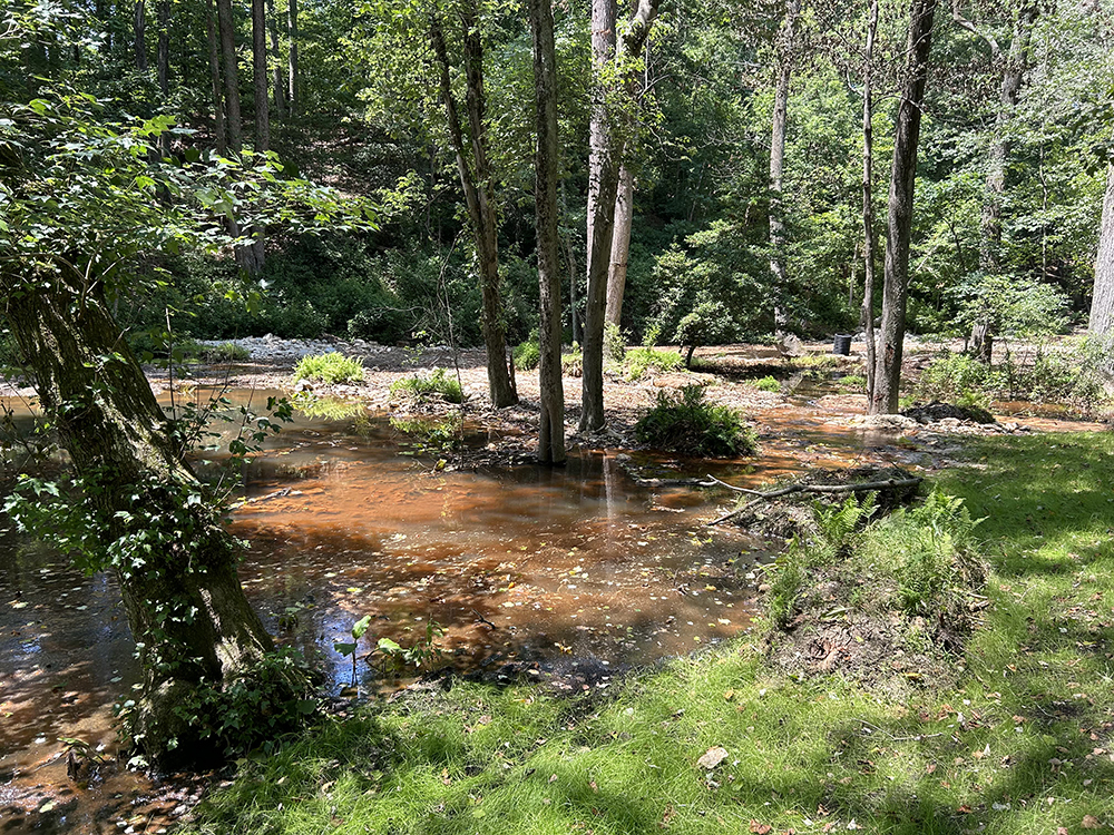
Project overview: Maryland Department of Natural Resources (MDNR) Monitoring and Non-Tidal Assessment (MANTA) team is contributing to monitoring efforts to understand the effects of a regenerative stream conveyance (RSC) restoration project in the Jabez Branch III tributary of Jabez Branch in Anne Arundel County, Maryland. The restoration aims to address erosion tied to increased impervious surface coverage in the area. The altered landscape changed the dynamics of storm flow, resulting in higher intensity flows through the stream channel. The project design included a series of pools and coarser riffle habitat in the tributary to improve habitat stability and water quality.
The Jabez Branch III Restoration will be managed over time using an Adaptive Management approach. Adaptive Management is an approach to ecological restoration and land management that focuses on learning by doing. Adaptive management promotes flexible decision-making to modify existing activities or create new activities if new circumstances arise or if projects are not meeting their objectives. Monitoring data is collected in a systematic and orderly manner over a period of time to evaluate whether specific project objectives are achieved. Through the synthesis of monitoring data, corrective actions may be identified and implemented to increase the likelihood of success of the restoration efforts.
Explore the links below to learn about ongoing water quality monitoring and biological and habitat assessments at the restoration site, access related resources, and download data, tables, and charts from our six water quality monitoring stations. Note all 2024 data were collected while construction was ongoing in the restoration reach.
For more detailed background information, please visit the Jabez Equipment and Monitoring Overview page.
 |
Jabez Restoration Project Goals: overland runoff and overland runoff and  flow duration flow velocity and groundwater/surface water exchange erosion and sediment transport and habitat variability nutrient processing and temperature regulation flow duration flow velocity and groundwater/surface water exchange erosion and sediment transport and habitat variability nutrient processing and temperature regulationPreserve existing natural resources on site |
Jabez Station Map
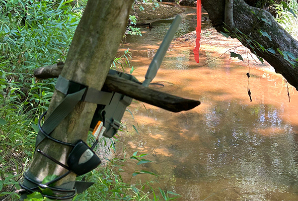
Maryland Department of Natural Resources (MDNR) is monitoring water quality within, above, and below a regenerative stream conveyance (RSC) restoration project in the Jabez Branch III tributary of Jabez Branch. The interactive map below displays the approximate locations of six monitoring stations where dissolved oxygen, water temperature, pH, and turbidity data are being collected within Jabez Branch III and Jabez Branch. Water quality data collected and processed by MDNR undergoes regular quality checks conducted by an independent observer. Below the map you will find links to standard operating procedures (coming soon), water quality data downloads, and additional information regarding the independent observer.
| For full functionality we suggest using Google Chrome or Mozilla Firefox. |
| Jabez Stations Legend | |
| Jabez Stations | |
Please wait while the map loads...