Eyes on the Bay Satellite Maps
Click on an image date or data map/date to change the view.
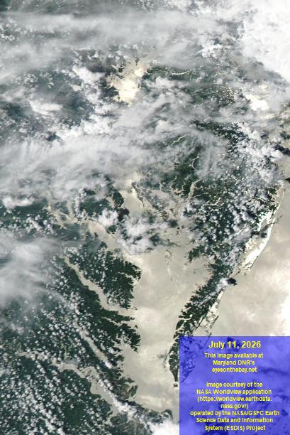
- The percentages listed in the True Color Image menu refer to the visibility based on cloud cover over the Chesapeake Bay water surface:
- 0% = zero visibility due to near total cloud cover
- 100% = excellent visibility due to clear conditions.
- Data maps may lag by several days due to processing time, but will update at later dates.
- The latest 365 days of images and data maps are presented below. Visit our Satellite Archive page (opens in a new tab) for our full archive of images (note: may be slow to load).
|
||||