
Bay Grass Coverage and Habitat Status
Click on an area in the map below or click on the tributary name from the list to see bay grass data.
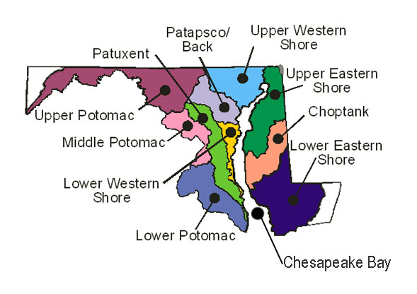
- Chesapeake Bay
- Choptank River
- Lower Eastern Shore
- Lower Western Shore
- Patapsco & Back Rivers
- Patuxent River
- Potomac River
- Upper Eastern Shore
- Upper Western Shore
Contact the Maryland Department of Natural Resources, Tidewater Ecosystem Assessment's Brooke Landry at (410) 260-8629 or brooke.landry@maryland.gov