Eyes on the Bay Satellite Maps - Full Image Archive
Note: this page hosts our full archive of satellite images, and may be slow to load.
To view only the last 365 days of satellite images and data maps, with faster loading, please visit the current year satellite page (opens in a new tab).
Click on an image date or data map/date to change the view.
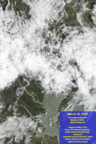
- The percentages listed in the True Color Image menu refer to the visibility based on cloud cover over the Chesapeake Bay water surface:
- 0% = zero visibility due to near total cloud cover
- 100% = excellent visibility due to clear conditions.
- Data maps may lag by several days due to processing time, but will update at later dates.
|
||||